Every feature. One job. Your yield.
No dashboards that need a tutorial. No metrics invented to look impressive on a slide. Just the satellite data that changes what you do on Monday.
Satellite mapping
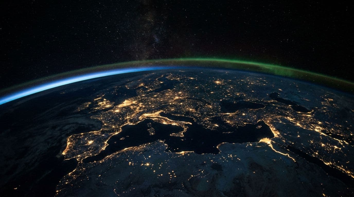
The whole field, from very far away
Public Earth observation programmes photograph your land on a fixed schedule whether you ask them to or not. We read those passes, compare them against every earlier one, and tell you what changed. Which means “I’ll walk it this weekend” stops being your monitoring strategy.
Radar sees through cloud, which is why it sits alongside the optical imagery. Neither one can see your neighbour’s business.
Hydration intelligence
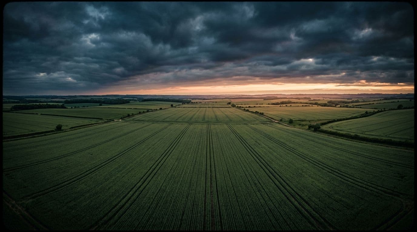
See the thirst
Moisture stress shows up in the data before it shows up in the crop. We flag the patch while you can still do something about it, instead of after it becomes a story you tell at the co-op.